
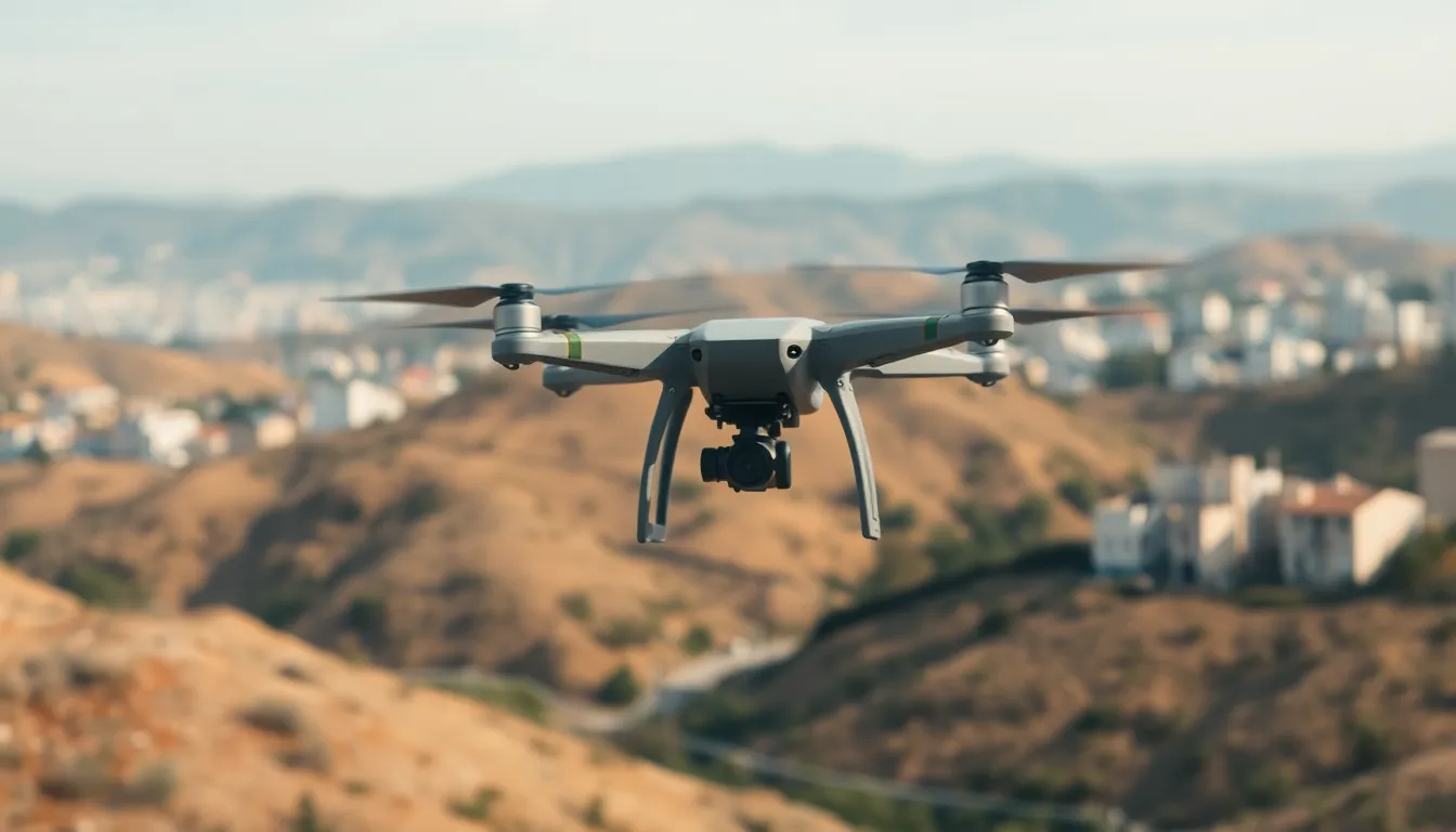
In a world where drones are buzzing around like caffeinated bees, navigation accuracy is the name of the game. Imagine a drone that can’t find its way home—like a lost puppy in a park. It’s not just amusing; it’s a recipe for disaster. From delivering your favorite pizza to surveying vast landscapes, precision in navigation can make or break a mission.
As technology evolves, so do the challenges of keeping these flying gadgets on track. With GPS signals that sometimes play hide-and-seek and obstacles that pop up like surprise guests, understanding the intricacies of drone navigation accuracy is crucial. Buckle up as we dive into the nitty-gritty of how drones find their way and why it matters more than ever in our tech-driven lives.
Overview Of Drone Navigation Accuracy
Drone navigation accuracy plays a pivotal role in various operations, from delivery services to industrial inspections. Real-time data processing capabilities significantly improve navigational precision. GPS alone can fall short due to signal interference from urban structures or natural obstacles.
Incorporating additional methods, such as visual odometry and ultrasonic sensors, enhances navigation reliability. Visual odometry uses camera data to track movement while ultrasonic sensors measure distance to surrounding objects. These technologies allow drones to navigate complex environments securely.
Several factors impact navigation accuracy. Signal disruption caused by terrain, buildings, or atmospheric conditions can lead to inaccuracies in positioning. Adverse weather also introduces challenges, influencing a drone’s ability to maintain a fixed path.
Statistics indicate that drones can achieve navigation accuracy within a range of one to ten meters when relying solely on GPS. Advanced systems may narrow this down to within centimeters by integrating multiple data sources.
Real-time corrections further bolster navigation accuracy. Drone operators utilize ground control stations to monitor flights and compensate for any discrepancies. Continuous advancements in algorithms and sensor technologies promise improvements in navigation capabilities.
Achieving high drone navigation accuracy involves a multi-faceted approach. By integrating various technologies and addressing environmental variables, drones can perform their tasks effectively and safely.
Factors Affecting Navigation Accuracy
Navigation accuracy in drones suffers from multiple influences. These challenges stem from both environmental conditions and the technology employed.
Environmental Conditions
Environmental factors play a significant role in navigation accuracy. Drones face disruptions from terrain variations, such as hills or valleys. Buildings in urban areas can create obstructions that interfere with GPS signals. Adverse weather conditions, like rain, snow, or fog, further complicate positioning efforts. These obstacles can reduce accuracy to within one to ten meters for GPS-dependent drones. Incorporating additional sensors allows a drone to navigate more effectively in challenging environments. For instance, visual odometry techniques enable tracking movement in real-time, enhancing precision where traditional signals fail.
Technology Used
The technology employed directly impacts navigation accuracy. Drones equipped with advanced navigation systems often integrate GPS, inertial measurement units, and visual sensors. Combining data from these various sources narrows positional accuracy to mere centimeters. Algorithms that process sensor data in real time enhance overall navigation capabilities. Ground control stations contributing corrections help maintain reliable performance. Drones utilizing multi-source integration perform better in dynamic environments, adapting to changes swiftly. Emphasizing this technological synergy leads to safer operations and greater efficiency in tasks like delivery and surveying.
Methods For Measuring Navigation Accuracy
Reliable drone navigation accuracy relies on several methods, each contributing uniquely to overall performance.
GPS Technology
GPS technology serves as the foundation for drone navigation accuracy. Signals from satellites facilitate positioning, but urban environments often disrupt these signals. Obstacles like buildings and trees can reduce accuracy to ten meters or more. Advanced GPS systems, however, can incorporate multi-frequency signals to enhance reliability. By integrating real-time corrections from ground control stations, drones can achieve precision within a few centimeters. Understanding these limitations and advancements is crucial for optimizing drone operations.
Visual-Inertial Odometry
Visual-inertial odometry combines images from cameras with data from inertial measurement units to improve navigation accuracy. This method enables drones to precisely track their movements, even in GPS-denied environments. Cameras capture visual data that helps estimate the drone’s position relative to its surroundings. Inertial measurement units provide information about acceleration and rotation, allowing for further refinement of position calculations. Together, these technologies enable drones to navigate complex environments, ensuring enhanced accuracy for tasks like surveying and inspection.
Recent Advances In Navigation Technology
Recent advances in navigation technology significantly enhance the accuracy of drone operations. Innovations in machine learning and sensor fusion have emerged as critical elements in improving how drones navigate complex environments.
Machine Learning Applications
Machine learning empowers drones to adapt to dynamic surroundings. Algorithms analyze vast datasets from prior flights, allowing drones to recognize patterns effectively. Enhanced object recognition ensures drones identify and respond to obstacles in real-time. Training models on diverse environmental conditions aids in refining navigation accuracy further. Drones employing machine learning also benefit from predictive analytics, enabling them to anticipate possible navigation challenges before they arise.
Sensor Fusion Techniques
Sensor fusion techniques integrate multiple data sources to improve navigation precision. Combining GPS data with input from cameras, LiDAR, and inertial measurement units leads to more accurate positioning. Each sensor provides unique insights, allowing drones to navigate even in GPS-denied settings. This technique also enhances obstacle detection, helping drones avoid collisions in intricate environments. Implementing sensor fusion results in navigation systems that maintain reliability despite external disruptions from weather or terrain.
Challenges In Achieving High Accuracy
Achieving high navigation accuracy for drones presents several challenges. Many factors influence this precision, including signal interference and regulatory constraints.
Signal Interference
Signal interference significantly hampers navigation accuracy. Urban environments, tall buildings, and dense forests disrupt GPS signals, leading to precision loss. Unforeseen obstacles like bridges and tunnels further complicate navigation, often causing uncertainties in the drone’s location. Weather can also contribute to reduced signal reliability. For instance, heavy rain or thunderstorms might obstruct signal transmission, deteriorating performance. Effective solutions involve integrating advanced systems that use multi-frequency signals, reducing the adverse effects of interference. Techniques such as visual odometry and sensor fusion provide valuable alternatives when GPS signals are unreliable, enhancing situational awareness and accuracy even in complex environments.
Regulatory Constraints
Regulatory constraints create additional hurdles in achieving high navigation accuracy. Local and national regulations dictate where drones can operate, affecting their ability to complete tasks seamlessly. Mandatory altitude limits and no-fly zones often restrict operations, while privacy laws impose further limitations on data collection. Navigating these rules necessitates a robust understanding of compliance within specific regions. As regulations evolve, so do the requirements for navigation technologies, compelling manufacturers to adapt their systems continuously. Staying compliant while maximizing operational efficiency remains vital for drone operators, ensuring reliability in various applications.
Navigating the complexities of drone operations requires a commitment to accuracy and reliability. As technology evolves the integration of advanced systems ensures drones can overcome challenges posed by GPS limitations and environmental factors. By employing techniques like visual odometry and sensor fusion operators can achieve remarkable precision even in the most demanding conditions.
The future of drone navigation lies in continuous innovation and adaptation. With machine learning and real-time data processing becoming integral to navigation strategies drones are set to perform tasks with unparalleled accuracy. This ongoing evolution not only enhances operational efficiency but also ensures safer and more effective drone applications across various industries.